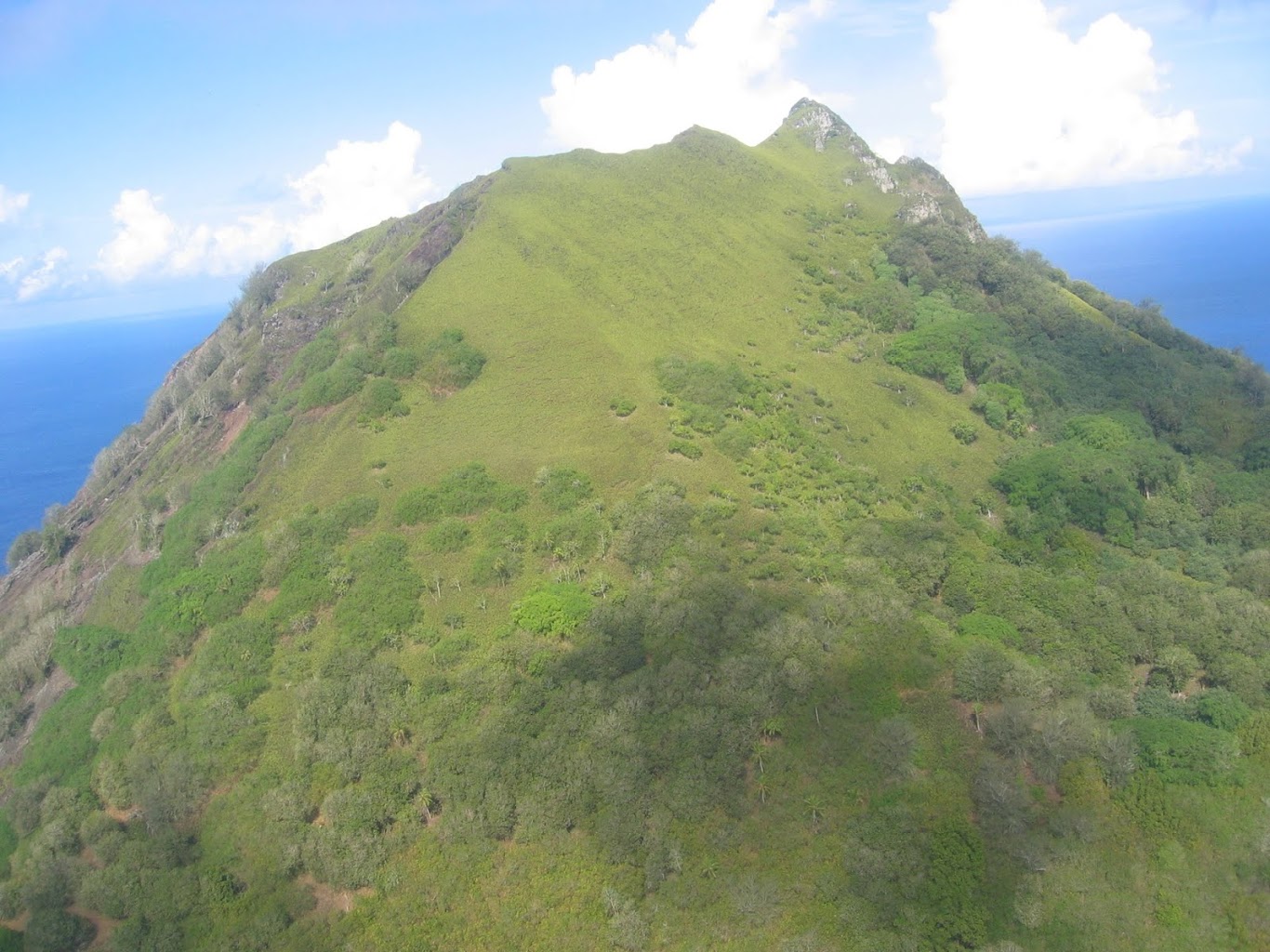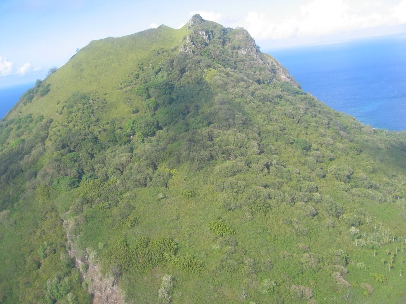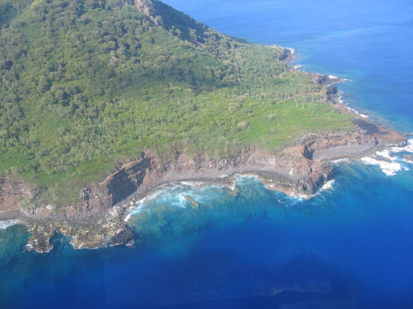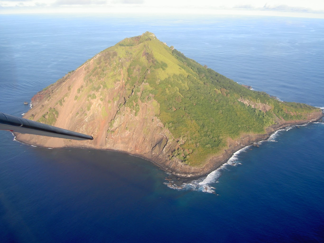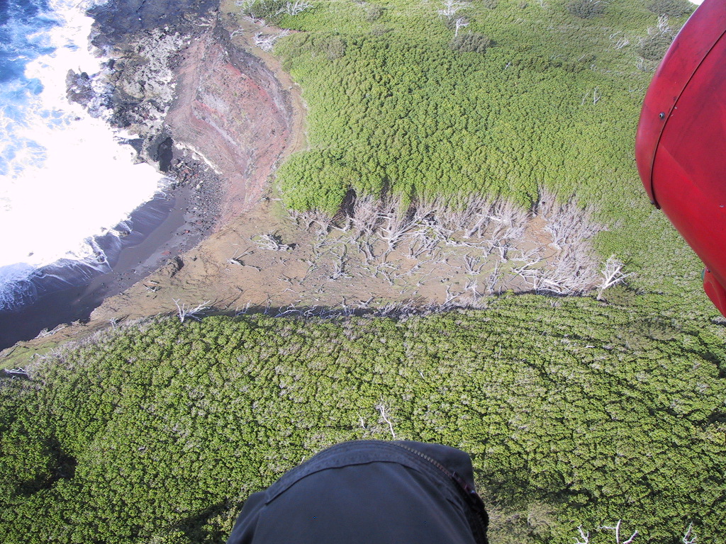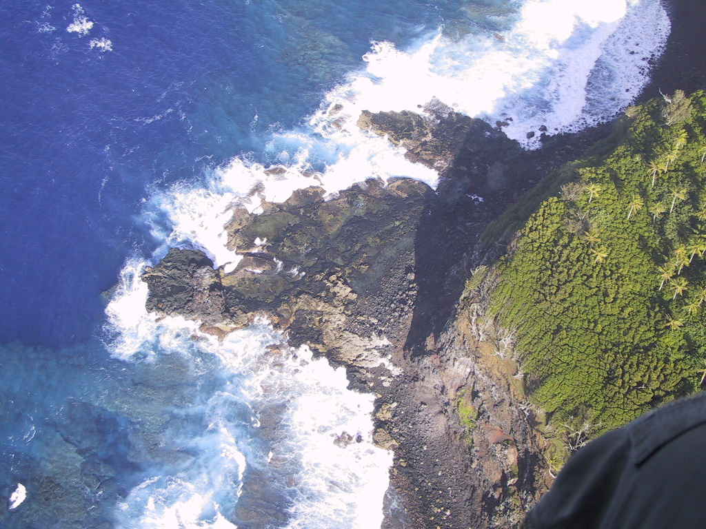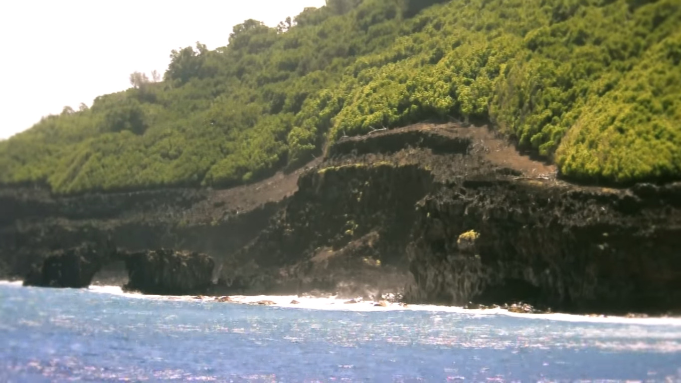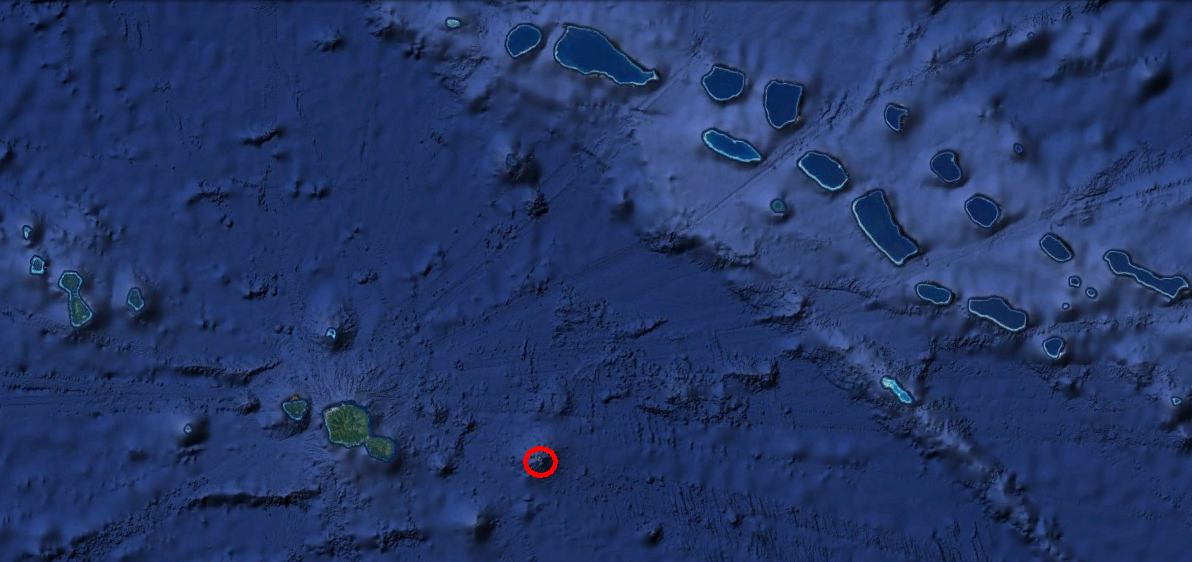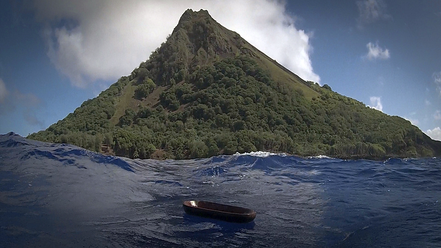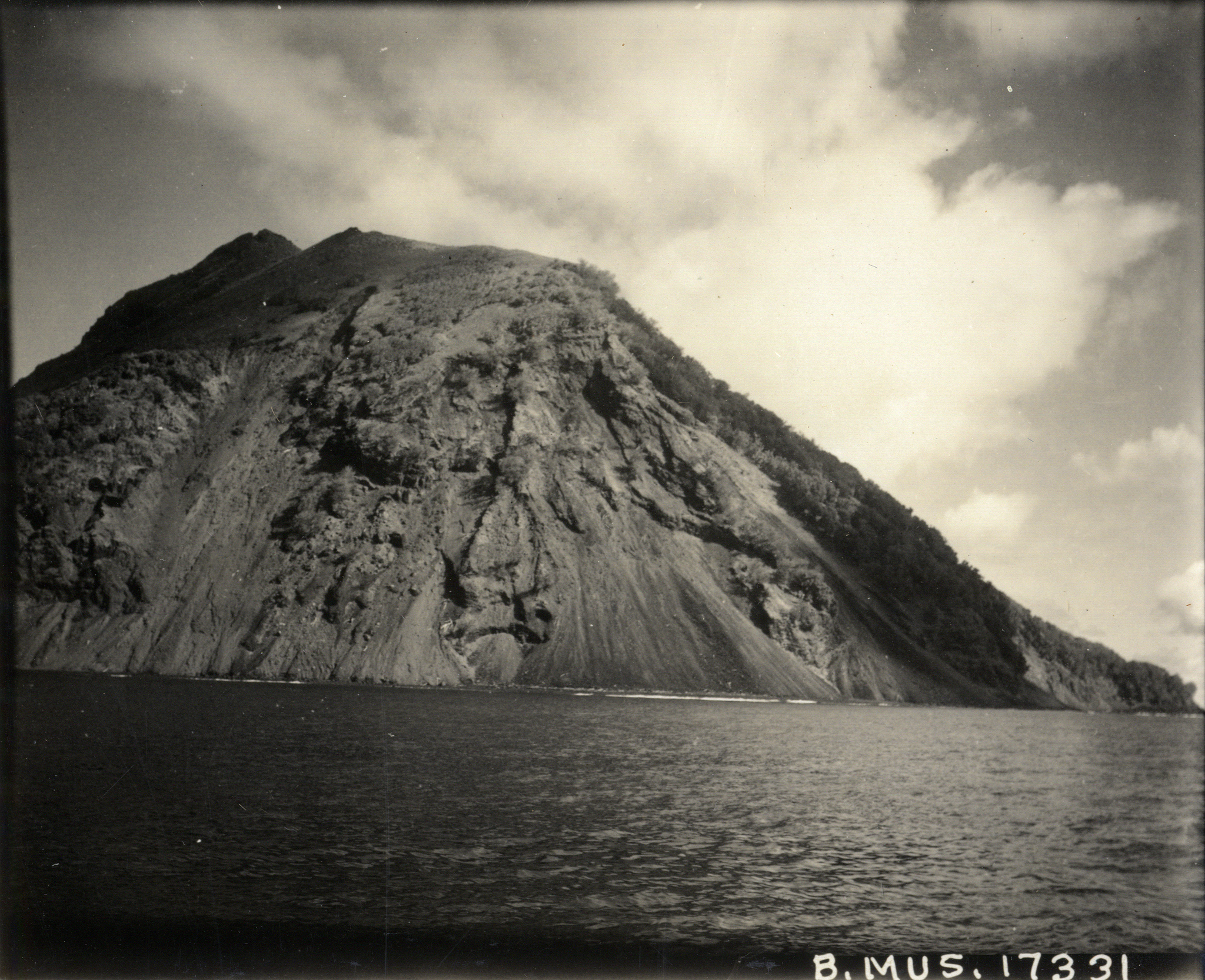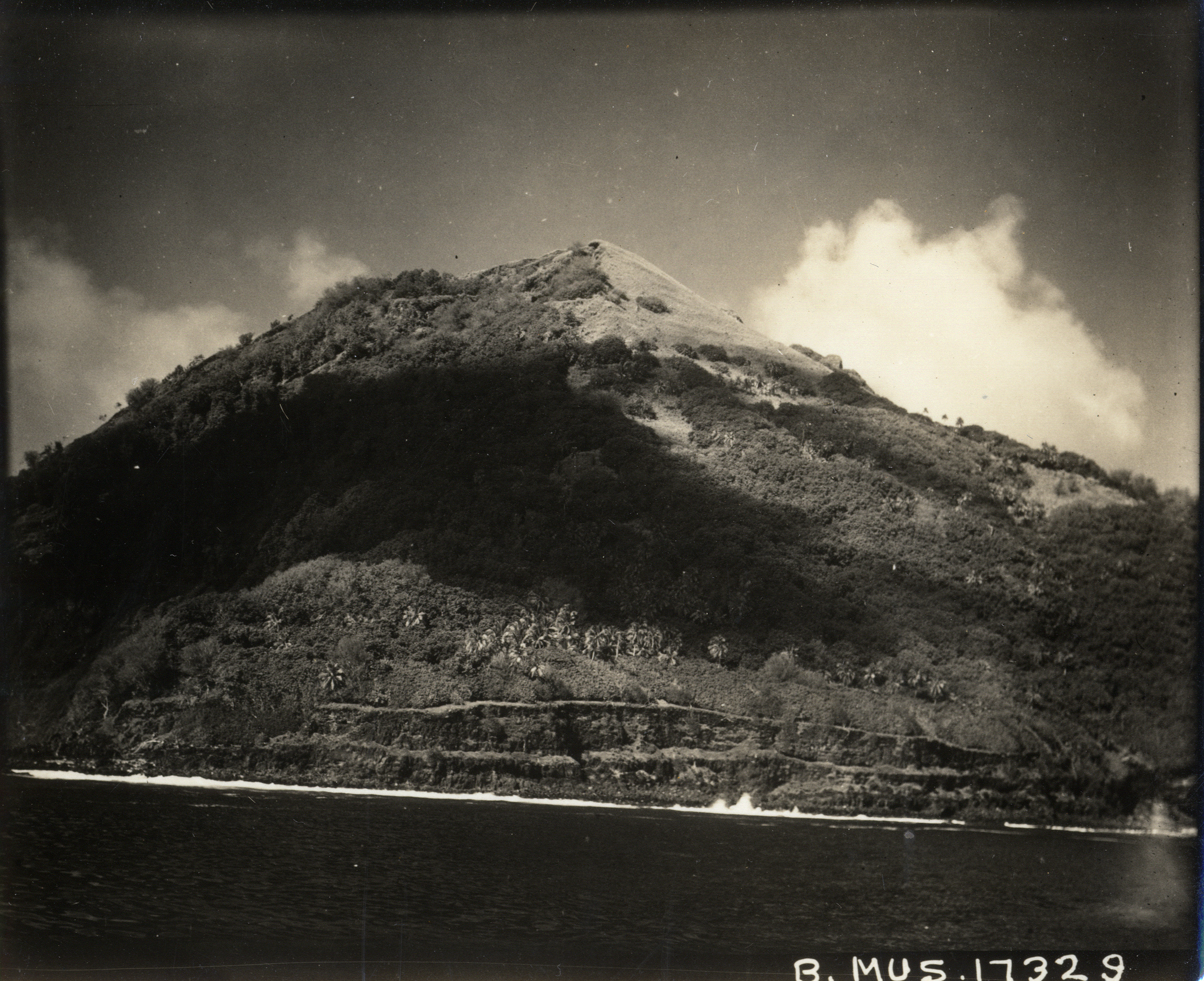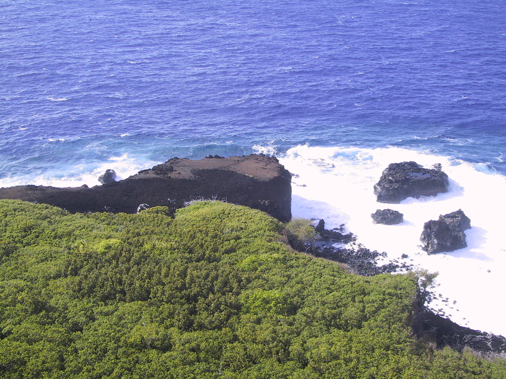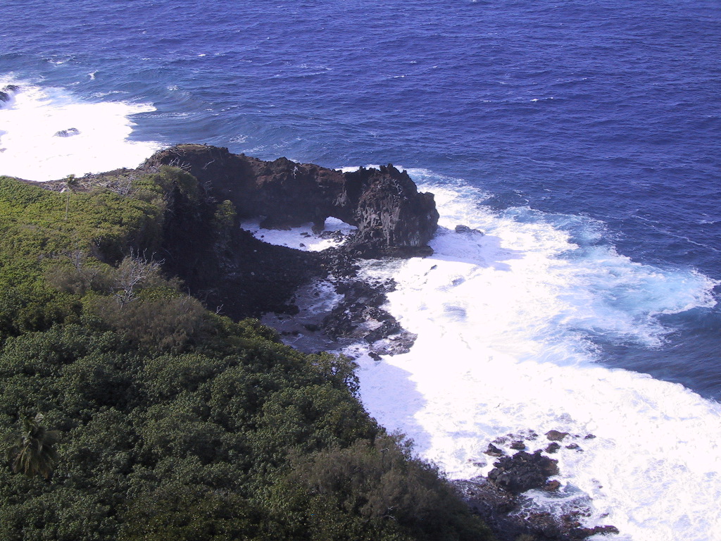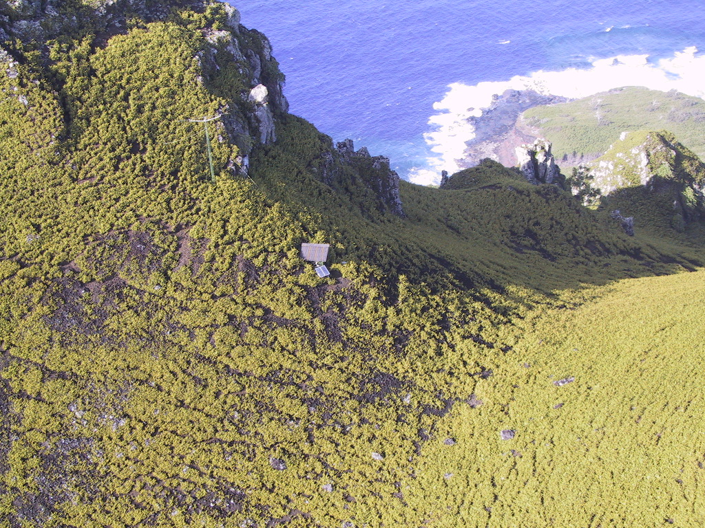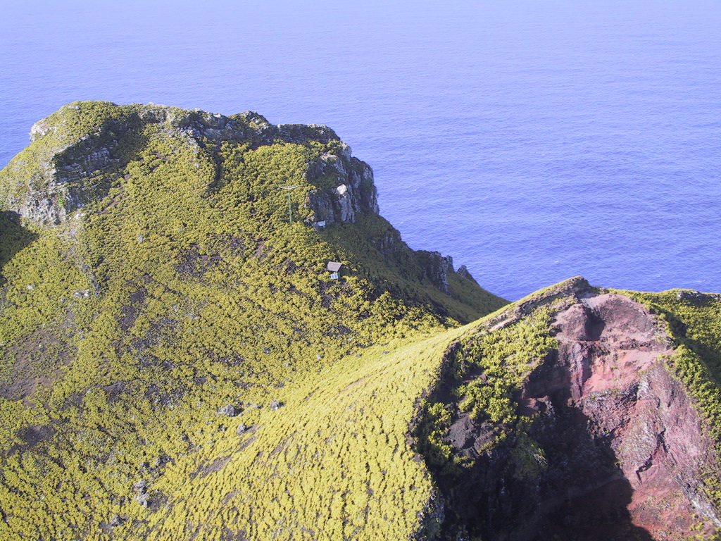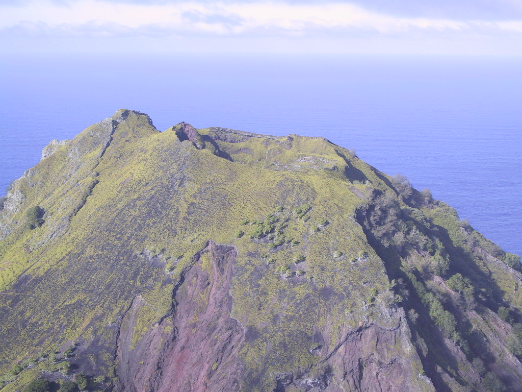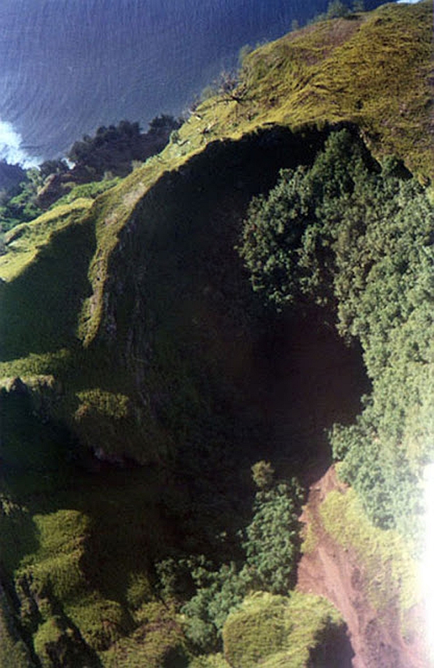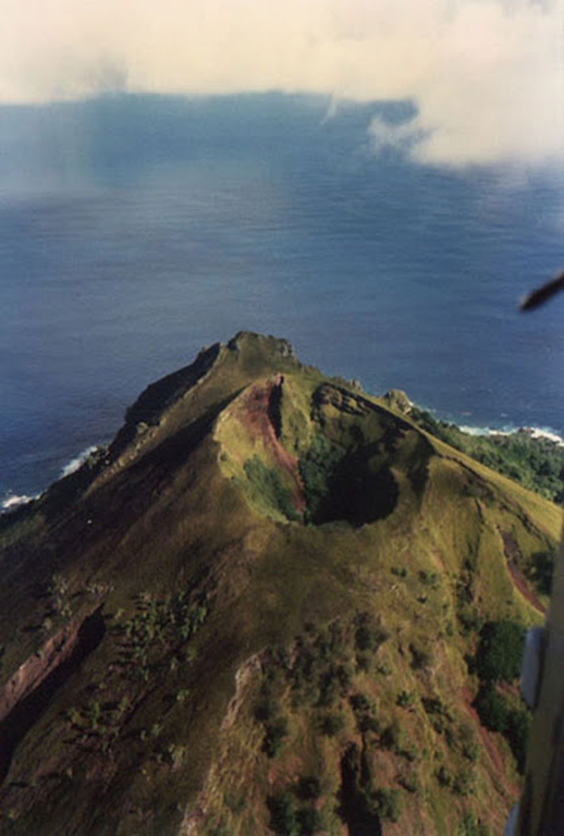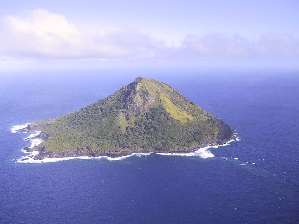
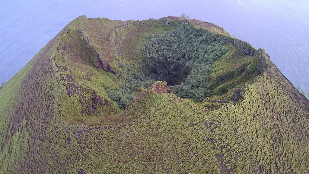
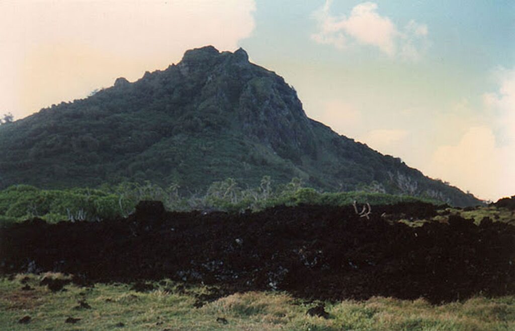
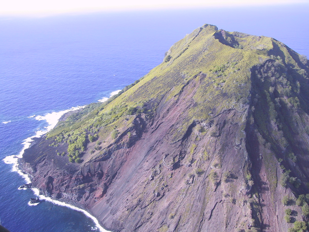
Mehetia Island is a volcanic island 110km southeast of Tahiti. Its area is 2.3 km2. Length / width are 1.8km by 1.5km. The height is as much as 435m, which is big for an island of that area. The island literally looks like an ingrown volcano. There is no beach, no lagoon, it rises high immediately. At the top of the peak is a crater with a diameter of 220m, which has grown into vegetation.
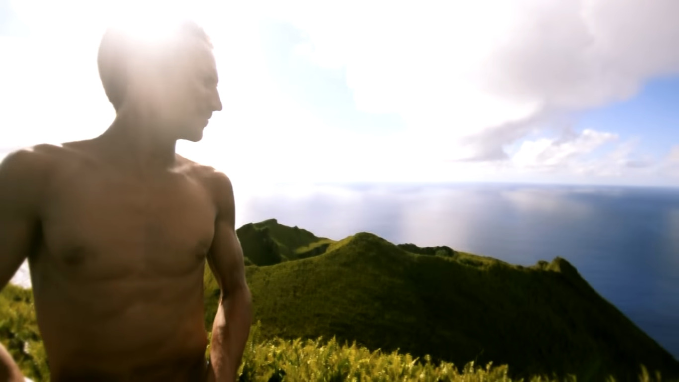
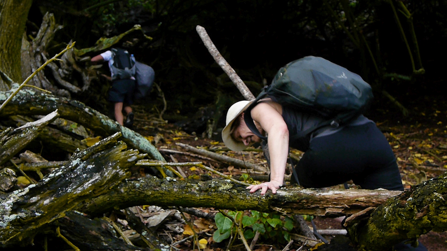
There are no inhabitants on the island, but it is private and has a house with a solar panel upstairs, almost from the very top. But due to its appearance and height, it is quite unique and popular island as some people made posts, taking pictures from the summit, offering awesome view from there. Aldo, due to its appearance it is easy memorable. It is said that this island was used for navigation in ancient times.
Mehetia is the youngest volcanic geological formation, and an active volcano. The last underwater eruption occurred in 1981 nearby at a depth of about 1600m. Polynesian legends mention ,,large fires,” and the lack of vegetation on some lava flows suggests that the latest activity occurred within the last 2000 years, according to the volcano discovery https://www.volcanodiscovery.com/mehetia.html
According to the Science Direct Mehetia comprises two major volcanic formations. The “old edifice” made up of interbedded pyroclastic rocks and lava flows, forms the main part of the island. Mehetia does not show any indication of present-day volcanic or fumarolic activity but should be considered as an active volcano as evidenced by the 1981 volcanoseismic crisis.Mehetia lavas include oceanites, primitive and evolved alkali basalts and basanites together with rare hawaiites and mugearites. More can be read in their article https://www.sciencedirect.com/science/article/abs/pii/037702739390040X
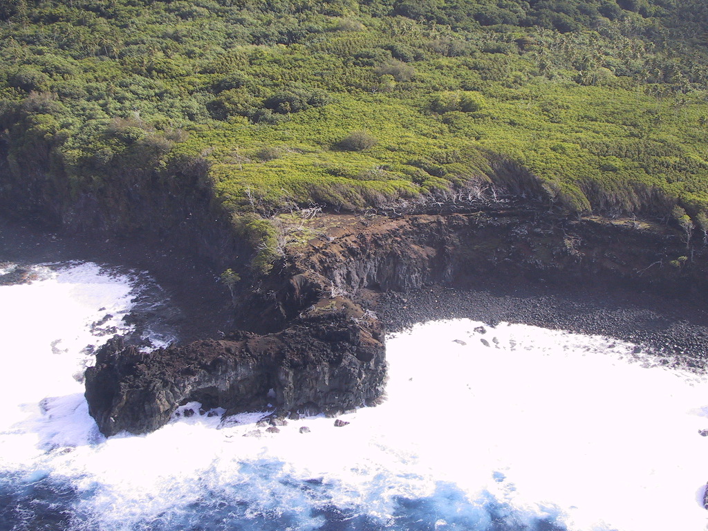
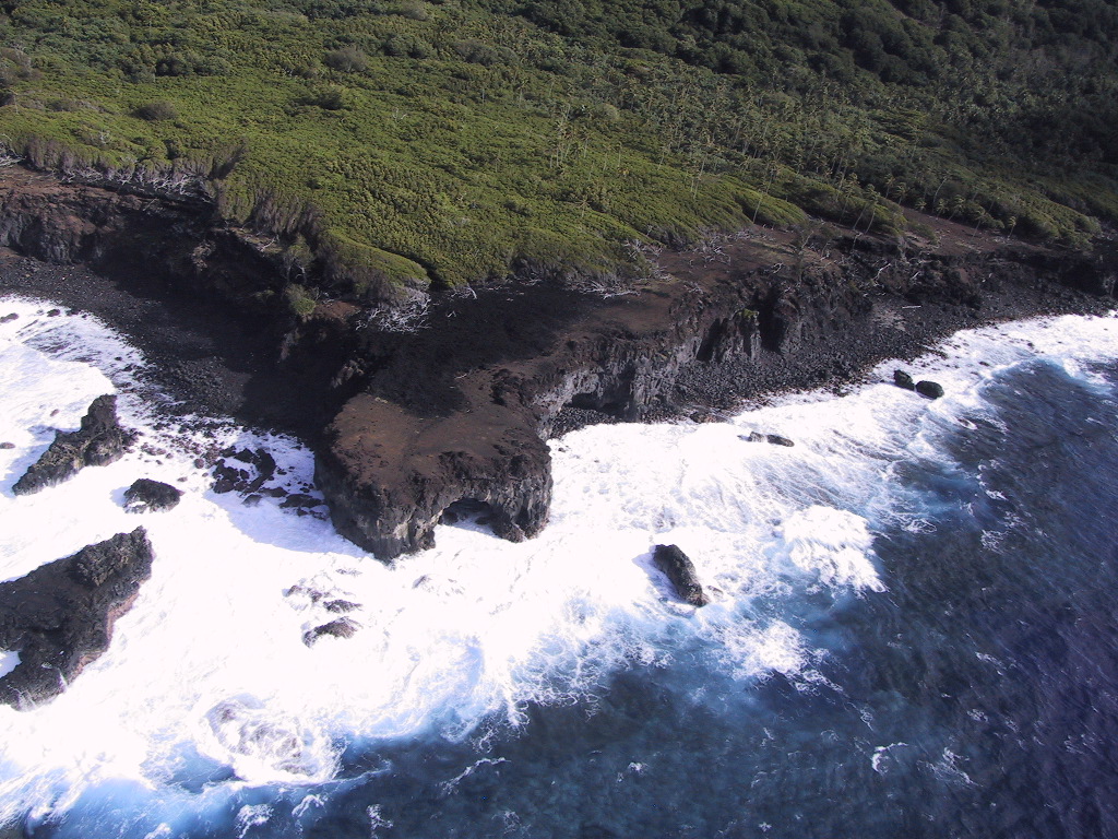
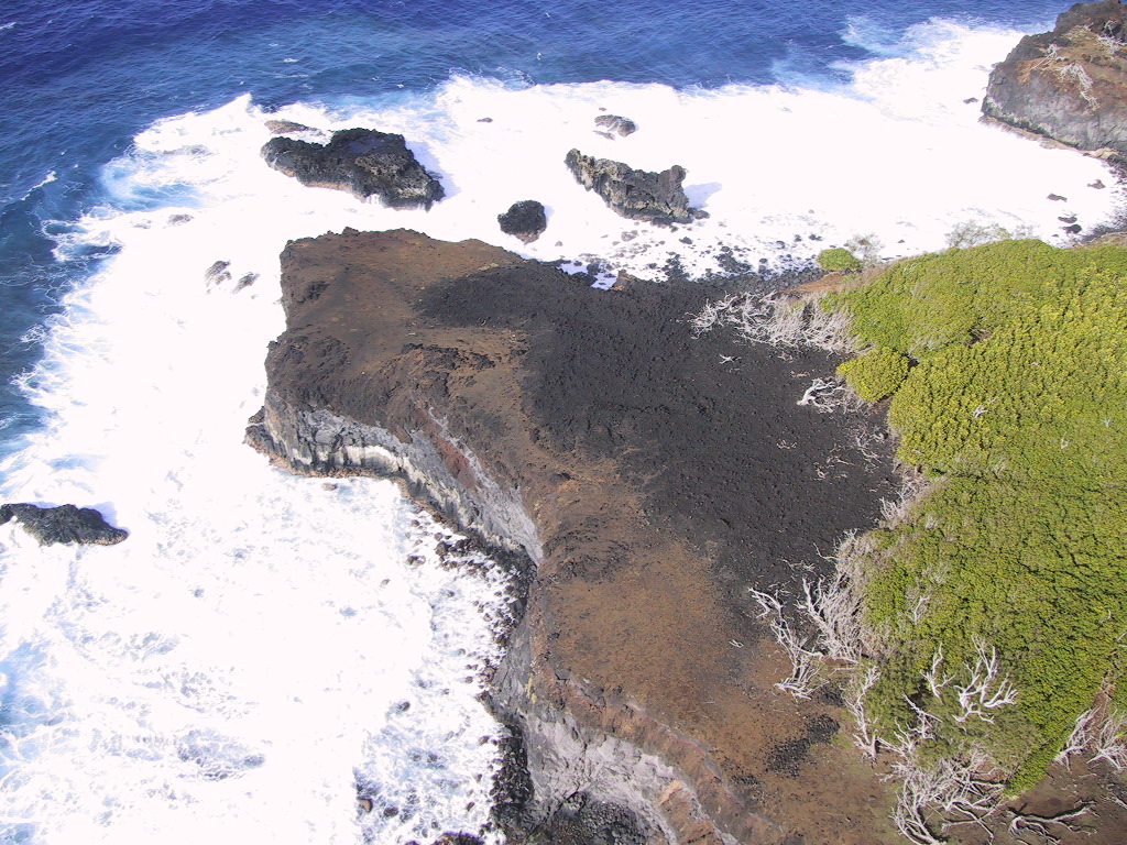
HERE IS OUR MEHETIA ISLAND GALLERY